The requirements
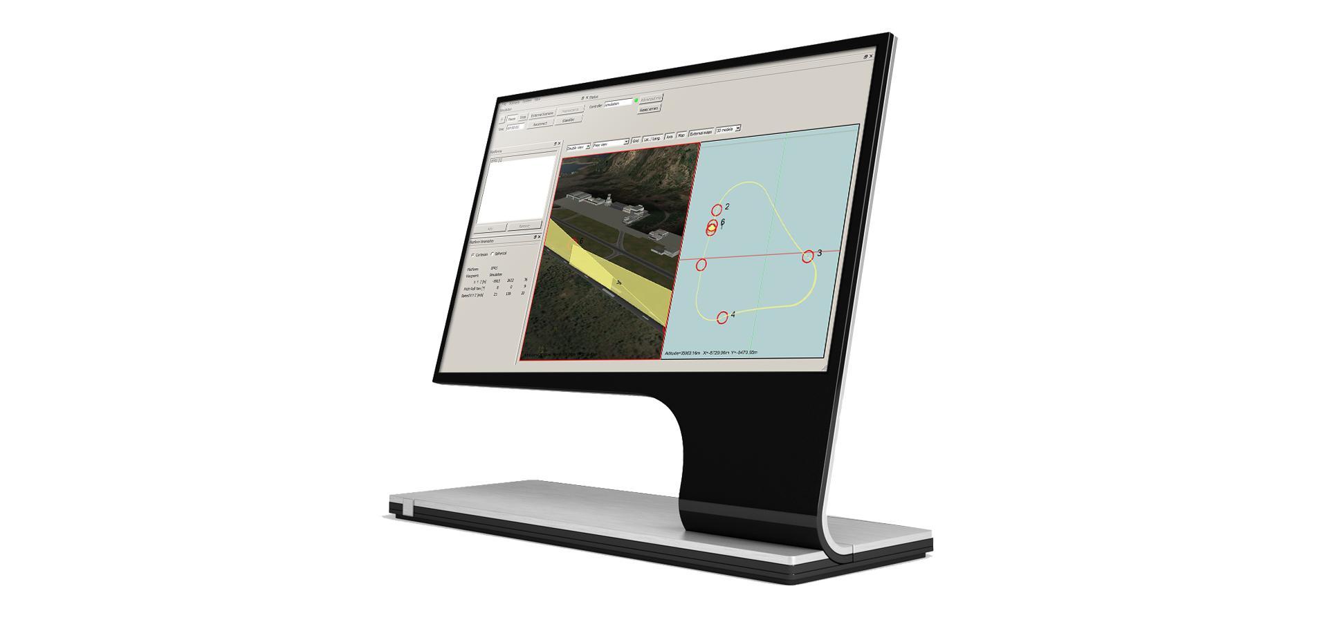
Our client needed a system capable of simulating the trajectory of any number of targets in three dimensional space and specifying different physical characteristics.
The ground, managed with OpenSceneGraph and OsgEarth, could be associated with various kinds of maps and could operate against online or offline data or a combination of the two.
Particularly challenging was the ability to communicate the positions of the various targets to another physical machine involved in the simulation at intervals of 1ms, via TCP/IP or UDP.
Challenges
The design and creation of a complex system on a short deadline left little time to evaluate robust solutions that would provide the necessary flexibility.
Solutions
The use of several high-level open source libraries enabled us to quickly produce a working solution and adapt it quickly to the client’s requests.
Advantages of our solution
- Qt gave us the high performance event loop that let us quickly update the target host with position information while maintaining a cross-platform code base
- Separating processes for the viewer/editor and the simulator itself permitted us to take full advantage of the multiple cores available on modern CPUs and avoid affecting the critical performance of the simulation with non-critical tasks being performed in the viewer
- OsgEarth and OpenSceneGraph gave us a ready, off-the-shelf solution for incorporating online and offline map data in the simulation
Looking for a Qt development partner?
Advantages of our approach
Because the client had limited resources to dedicate to tracking the application, it was divided into a series of milestones and each of these was accompanied by a meeting to validate the work done and plan the next stage. Each milestone was driven by an agile methodology to track progress and coordinate the team. This permitted us to finish the project on time, to the satisfaction of our client.
Advantages of open source
Though the project was closed-source during its development, we made use of numerous open source products, from Qt and OsgEarth to OpenStreetMap. We were able to leverage these to create a functional, high performance application despite its complexity and our client’s time constraints.
Staff
“Creating a 3D Editor with the ability to visualize, in real-time, maps of the globe with dynamic level of detail, three dimensional models and overlaid custom maps was a challenge whose solution called for a combination of open source technologies that fully satisfied the client’s requirements for flexibility and visual appeal.”